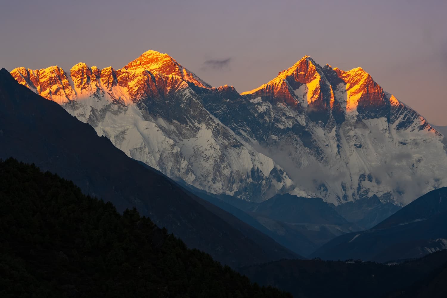
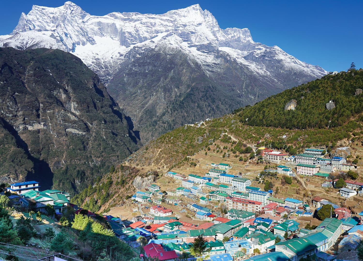
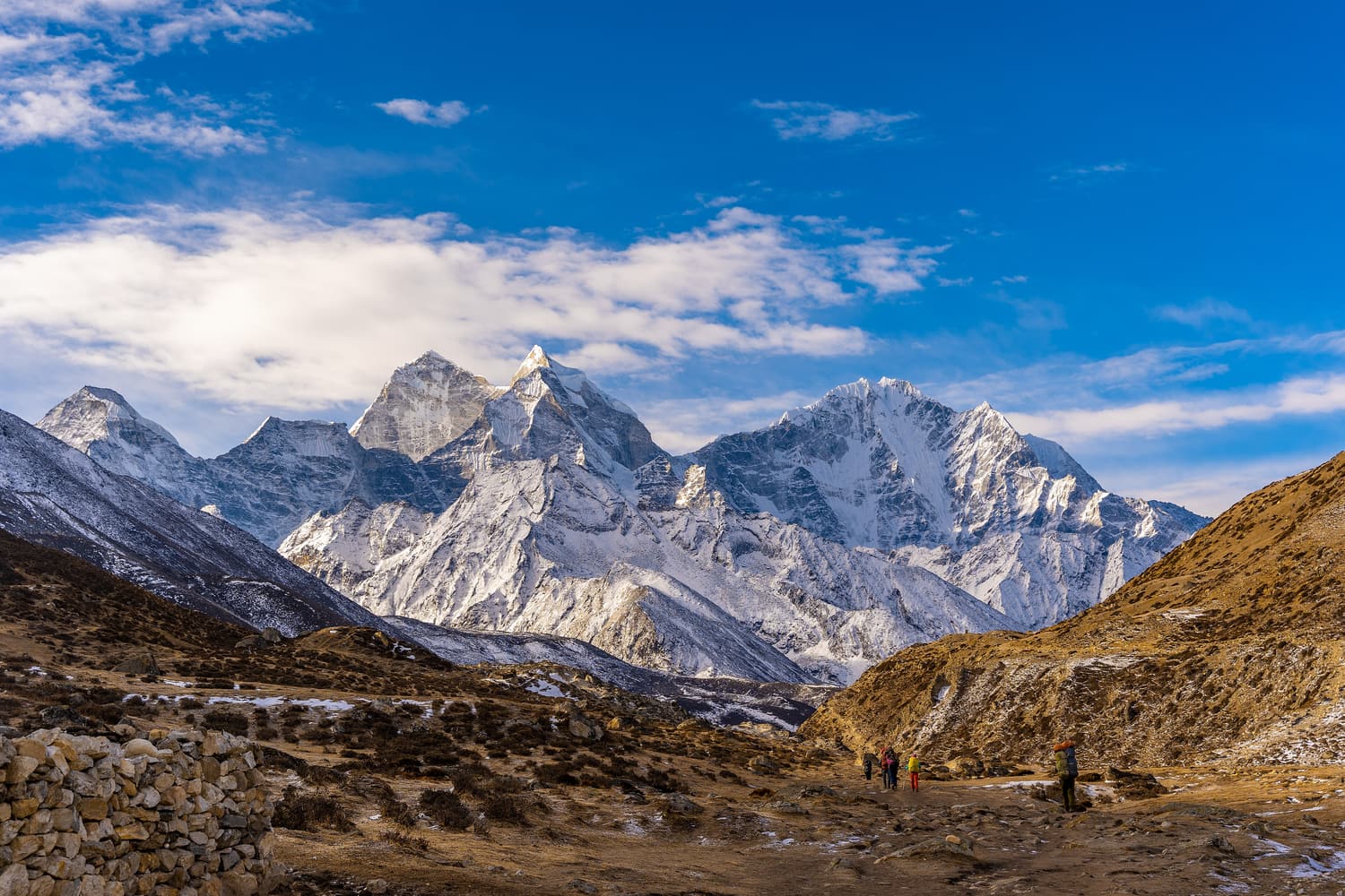
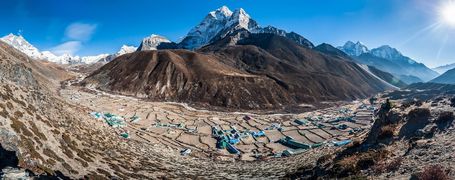
Dingboche spreads across the floor of the Imja valley at 4,410 m, a patchwork of stone-walled fields that protect barley and potatoes from the wind and the yaks. Above the tree line the landscape opens up dramatically: Ama Dablam towers over the village, Lhotse’s great wall closes the valley and Island Peak rises to the east.
It is the second — and most important — acclimatisation stop on the trek. You spend two nights here, using the day between to climb the ridge of Nangkartshang behind the village for views of Makalu, the world’s fifth-highest mountain.
What to do at Dingboche
Climb Nangkartshang
The ridge behind Dingboche climbs steadily towards a summit of around 5,000 m. Even going part of the way — to a prayer-flagged viewpoint — counts as good acclimatisation. Allow 3–4 hours.
Walk to Chhukung
An alternative acclimatisation walk up the Imja valley to Chhukung (4,730 m), base for Island Peak climbs and the Kongma La pass.
Rest properly
Drink, eat well, read in the sunny dining room and listen to your body. A headache that goes away with rest and fluids is normal; one that gets worse is not.
Getting to Dingboche
- From Tengboche: 5–6 hours via Pangboche and the confluence at Somare.
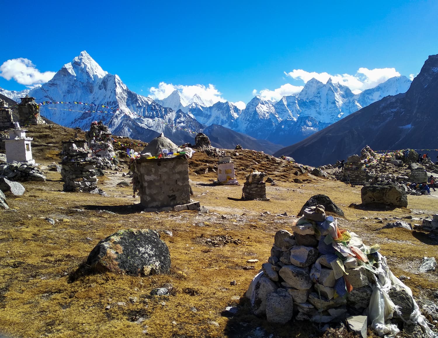
- Onwards to Lobuche: 5–6 hours, via the steep moraine at Thukla and the memorials to climbers who died on Everest.
- On the way down: many itineraries descend via Pheriche, home to the Himalayan Rescue Association aid post.
Trekker tips
- Do not skip the rest day here — it is the one that most affects your chances at Base Camp.
- Nights are now below freezing; fill a water bottle with hot water to warm your sleeping bag.
- Charging and hot showers get noticeably pricier from here upwards.
- Pheriche’s HRA aid post gives free altitude talks in season — worth a detour if you pass through.
Treks & tours that include Dingboche
These top-rated experiences are the easiest way to reach Dingboche with a licensed guide:
 Guided trek from €850
 From Kathmandu: 12-Day Everest Base Camp Guided Trek
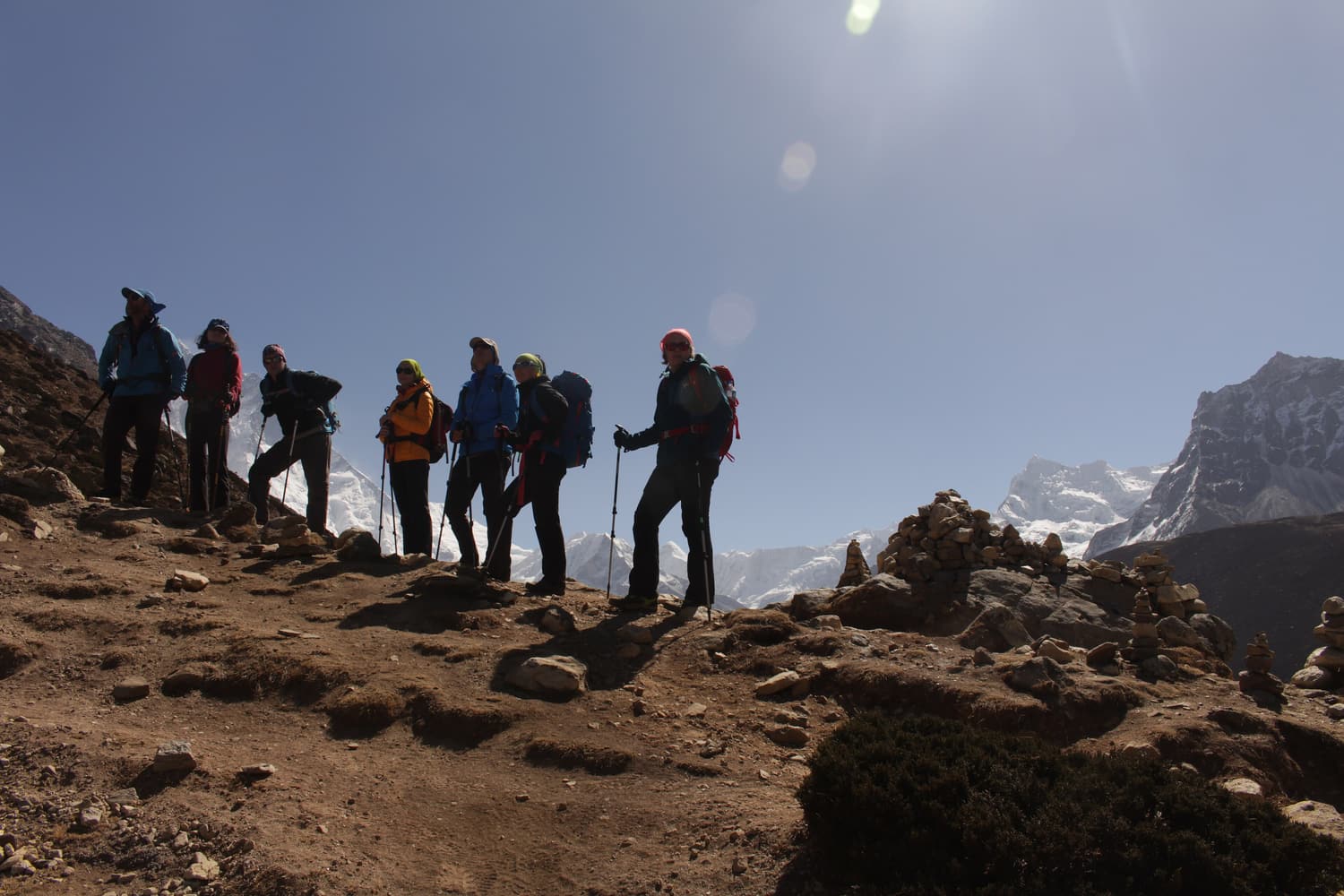
A compact but properly paced trek from Kathmandu to Everest Base Camp and Kala Patthar with a licensed guide, lodges along the route and the two rest days your body needs. Consistently top-rated by trekkers.
- Licensed guide from Kathmandu to Base Camp and back
- Acclimatisation days in Namche Bazaar and Dingboche
- Sunrise climb of Kala Patthar (5,644 m)
 Guided trek from €530
 Everest Base Camp Trek: A Short EBC Trek to the Iconic Himalaya
A faster Everest Base Camp itinerary for fit trekkers with limited leave. Best suited to people who have been to altitude before — the shorter schedule leaves less margin for acclimatisation.
- Base Camp in nine days for fit trekkers
- Namche Bazaar, Tengboche and Dingboche
- Small-group guiding with strong reviews
 Guided trek from €1100
 Kathmandu: 14-Day Everest Base Camp with Kala Patthar Trek
The textbook Everest Base Camp trek: fly to Lukla, climb gradually through Namche, Tengboche and Dingboche, reach Base Camp and watch the sun rise over Everest from Kala Patthar before descending to Lukla.
- The classic 14-day itinerary from Kathmandu
- Tengboche Monastery and the Khumbu Glacier
- Everest Base Camp plus Kala Patthar viewpoint